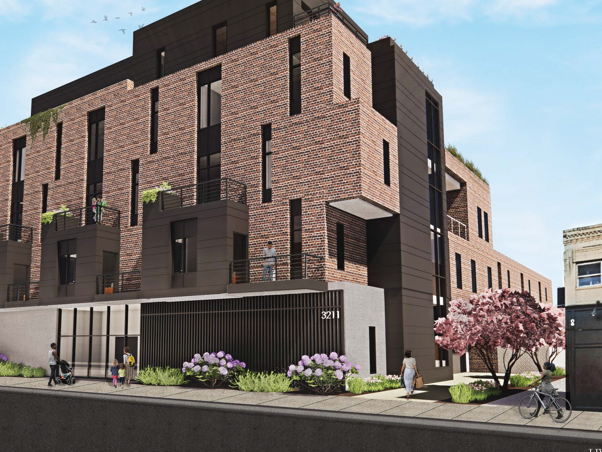
A Case Study into Heat Vulnerable Neighborhoods in Philadelphia. In collaboration with Elizabeth May.
**Also presented at the 2022 Forum on Architecture + Design, Philadelphia
Photo credited to UncoveringPA
The Problem
Philadelphia's heat vulnerability index identifies areas within the City that experiences higher outdoor temperatures, compared to the City's average outdoor temperatures. The disproportionate access to pervious surfaces is suspected to play a role towards increasing the already existing condition of the Heat Island Effect within neighborhoods of Philadelphia.
Heat exposure creates more energy stresses ($) on the residences within areas of high heat vulnerability. For this reason, this analysis is specifically looking for potential case studies in areas where the income is low, and the heat stress is high.
Potentially, revealing these higher outdoor temperatures as a lingering effect from Redlining practices of the early 1940’s
Research Questions & Hypothesis
"How can we reduce the heat island effect within heat vulnerable neighborhoods," was the first questions that developed at the starting phase of this project. Through the use of GIS analysis & scripting programs, we were able to identify the most heat vulnerable neighborhoods and begin to analyze potential solutions to address higher than average temperatures within these areas.
Esri's StoryMaps was used, to easily distribute and share our research findings.

